

Horizon Scan: Emerging tech for nature conservation in the Yarra Valley
Scanning the landscape for existing and emerging technology which could be effectively utilised for a nature restoration and conservation project.
Recently I found out that there was an exciting new conservation project gearing up in my local area, aimed at creating a refuge for threatened species of birds and possums, among others.
I decided to get in touch as I've been seeking ways to meet some more like minds in the local area, as well as deepen my understanding and connection to the area. I've found no better way than participating in the protection and regeneration of landscapes like this.
Initially I figured maybe I could organise a local community group to do classic volunteer tasks - planting, weeding, and the like. After a chat with one of the team tasked with community engagement, it sounds like there's already a couple of kindly souls who have a connection to the site who are making strides in this space, so I will seek them out and turn out for them.
However it also became clear that there is a window to support the development of a stream of work to explore & integrate a small scale trial of useful technology for the project to support monitoring, evaluation and innovation.
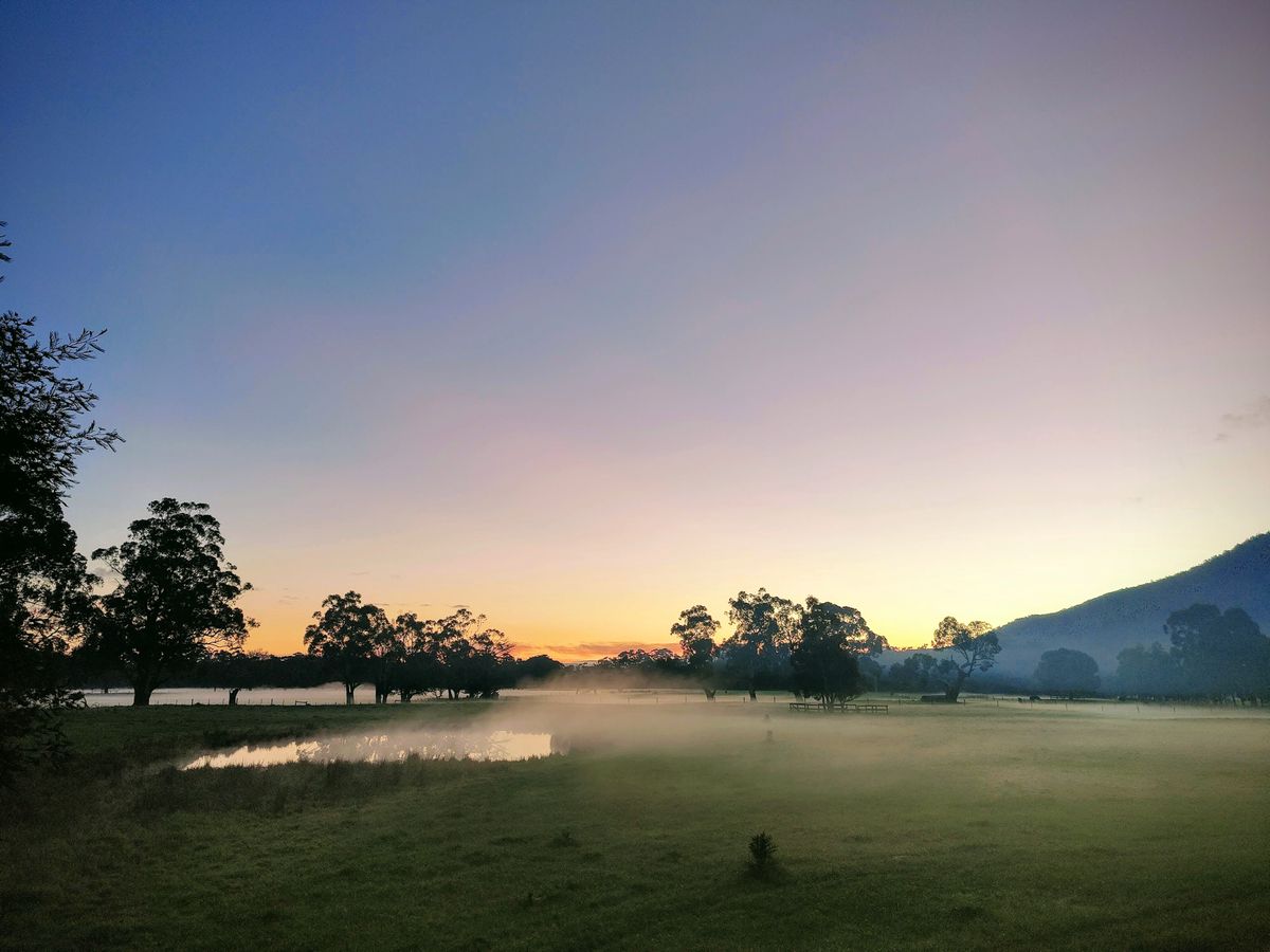
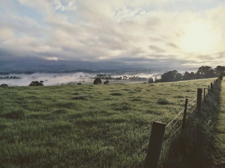
So I'm writing this post as documentation of a quick horizon scan of existing and emerging technology which could be effectively utilised on a project such as this. The project features bush regeneration as well as re-establishment of habitat for threatened species, and protection of other species on site.
Disclaimer: I cannot recommend any of the below personally as I have not worked with them directly. I have no financial interest in any of them at the time of writing, and none of the links included are affiliate links (so I do not make any money from sharing their websites).
Existing & Emerging Technology
What follows is a semi-structured exploration of technology which feels like it could answer the brief I outlined above.
Acoustic Monitoring
I've been following the development of low cost acoustic monitoring solutions, such as AudioMoth for a few years (initially flagged by the excellent Al Davies, founder of the Arribada Initiative, and also my cousin's hubby).


There's some pioneering projects around the world using these nifty wee devices, as a network of audio collection points which can capture the sounds of animals which are vocal. This feels like a really great option for a low cost technology which could be dispersed through the project site to (constantly) monitor and identify species on site, and potentially their abundance.
I'm already aware that Frog Identification has been done on site, with 7 species identified (Eastern Common Froglet, Eastern Banjo Frog, Whistling Tree Frog, Spotted Marsh Frog, Stripped March Frog, Peron's Tree Frog, and Southern Brown Tree Frog). I am excited by the idea that using an array of AudioMoths, and some smarts in machine learning, we could have a constant stream of understanding of what species inhabit and visit the site.
There was recently a great webinar from WildLabs with Tessa Rheinhart about how to achieve a feat like this:
Bioacoustics have obviously been used in Australia before. As well as the FrogID project which leverages smartphones for Citizen Science, there's also a nice example with Glossy & Red Tailed Cockatoo here.
Biologging (Tracking Movement)
I'm not sure how much is known about the behaviour and movement of many of the species which may exist in the area, and as such gathering additional research may be valuable.
Al Davies' Arribada has recently released an exciting new project to support exactly this kind of research. Stemming from his work tracking turtle movements, as well as plastic in oceans, an open source biologging device is now available at an affordable price and quite a compact size.
New Horizons – Open Access ARGOS Telemetry
I'm not sure whether these would be small enough to work with the local possums for example, but one worth including as new and notable.
Environmental Sensors
For some time I've had a fascination with the idea of integrating low cost air, water & soil sensors into conservation work to assist with a range of monitoring and evaluation. For example, if you knew soil moisture levels, you may increase or decrease regularity of watering of plants in the first couple of years, therefore increasing their likelihood to survive.
Likewise the kind of data which could be gathered would be useful inputs for establishing the background conditions for revegetation progress - such as drought, smoke from bushfires, pollutants in watercourses and the likes.
There are a wide range of solutions in this space, but one I'm particularly interested in is FieldKit from Conservify:
Likewise I believe there would likely be potential in the Raspberry Pi / Arduino space, such as these:
Monitor air quality with a Raspberry Pi
Planting Cocoons
Thinking a little more about the challenge of increasing the survival rates of new vegetation which is being planted, I believe this is also a notable low cost, low fi technology.
The cocoon holds water, creates shelter, and is biodegradeable. They were developed for tough arid locations, so from a quick scan - may work well in Australia (even though the Yarra Valley is wetter than other parts of Australia).

Camera Traps
Camera traps are a common feature in the conservation tech world. They've been used for a long time with motion triggers to capture wildlife during the day and at night. Cameras can also be used as part of a photopoint monitoring solution to capture change over time. In tandem with acoustic monitoring, camera traps can give great insights on animal behaviour.
Traditionally, cameras would have to be checked regularly to change batteries and remove and replace media storage. However the next generation of cameras may include solar panels (renewable power), wifi connections (send media wirelessly) and some even now include dedicated machine learning programs which can trigger real time alerts.
Arribada are working on this:
Building a better camera trap
Thermal imaging can also be a significant tool both for identify native and non native wildlife. Examples of this in use in Australia are numerous.
In addition, I would also note Conservation X Labs emerging Sentinel platform, which aims to create an easy way to develop machine learning and AI to work with environmental data, without needing to know how to code.
 Our Mission
Potentially, locally, a small array of cameras could assist with monitoring Leadbeater Possums, capture Honeyeater behaviour, and also provide photopoint capture to monitor regeneration of vegetation over time.
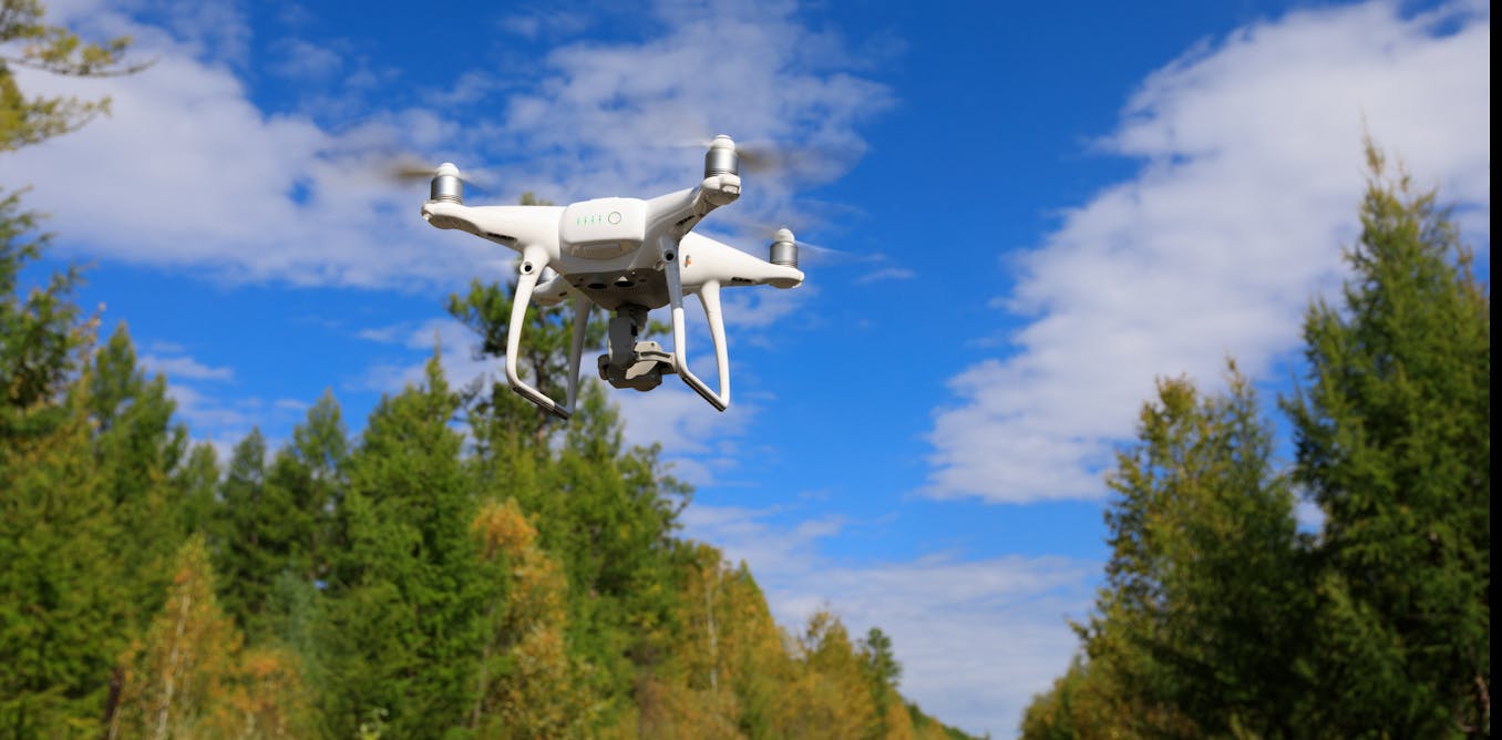
Drones
One of the hot topics in the (conservation) world at the moment is the explosion of possible uses for drones. Having recently got my hands on a drone for work, I can absolutely understand the possibilities. Having seen some amazing projects recently including SharkSpotter, Bettong spotting, and Koala identification after fires, I share some of the excitement whilst also wanting to ensure our skies aren't constantly polluted by whirring rotors.
Drones have a range of potential, including aerial identification of species, surveys of the scale of regeneration, and I also know of trials for aerial seeding (a way of regenerating vegetation instead of planting by hand). Drones are also a fabulous tool for storytelling, providing unique perspectives in photo and video form.
Potentially, much like the acoustic monitoring, the greatest opportunity is for the footage to be used in tandem with machine learning to automate much of the analysis of the media, in order to more quickly process insights.
Data Analysis, Visualisation & Storytelling
In addition to all the physical technology above, there's the potential to leverage digital technology across the lifecycle of a conservation project.
This was one of the areas I delved into in my Masters, which you can read more about here:
 Sam Rye
Conservation projects, such as the local one, not only need the kind of digital technologies which can assist with project management, but also the kind which support the analysis of data, the ability to visualise data, and turn it into stories which connect with volunteers, funders and other stakeholders. These can assist stakeholders to better understand what a project is doing, why it is important, and whether it's being successful - all critical to engagement and participation.
Typically, conservation has been a user of spatial mapping technology known as GIS. It's a map-based technology on which you can build up layers which represent different types of data - where trees are planted, areas which have been weeded etc. Typically GIS is held in the hands of a few, and interpreting it is difficult.
This is one of the challenges which ArcGIS took on with their StoryMaps tool. This, or something like this has the ability to take the GIS data and turn it into something more intelligible for most people - stories are far easier to connect with, care about, and engage with.

Likewise, sometimes large amounts of data are important to analyse and communicate. There are various platforms for this purpose, such as:

Finally, photography and video can find a large number of online homes, however one of my favourites which has developed nicely for this purpose, is Exposure:

Next Steps
This is usually one of my first steps in a strategic design process. From here I know the value of continuing to build relationships across a range of people involved (and currently excluded) in the project.
I would also do a little work to understand the forces at play around the project (simple systems mapping), and then assess a small array of interventions to begin with.
Comments ()